S-100 Products and services
Download sample S-100 datasets: Discover the benefits of S-100, test your software, or develop new software to use with it. This data is intended for testing purposes only and is not to be used for navigational purposes.
We're launching our first S-100 datasets. You can send your questions and comments on S-100 products to CHS Info.
On this page
About S-100
The S-100 Universal Hydrographic Data Model (S-100) is a set of guidelines and definitions for designing and maintaining hydrographic geospatial products and services. It is the new international standard being developed by the International Hydrographic Organization (IHO) to ensure consistency in maritime products and services. S-100 supports the integration of various digital nautical data including:
- electronic navigational charts (ENCs)
- weather information
- surface currents
- water levels
- high resolution bathymetry
- aids to navigation
- port data and more
Please visit the S-100 products specification glossary page for a full list of the S-100 standards that Canada is contributing to.
S-100 hydrographic products and services take advantage of high-definition data, in near real-time where possible, resulting in:
- Safer navigation for people, goods, and the environment
- More efficient routes for lower carbon and environmental impacts
- Decreased costs for mariners by increasing fuel efficiency and time savings
- Optimization of the ships voyage planning and execution to safely navigate
The S-100 standards are set to be operational by the January 1, 2026 deadline set by the IHO.
Canada and S-100
The Canadian Hydrographic Service is a leader in contributing to the development of S-100 products and services at the IHO. By adopting the S-100 universal hydrographic data model in the production of hydrographic products and services, mariners in Canadian waters have access to the most up-to-date and detailed information for safe and efficient navigation.
Canada's contributions to its implementation involve:
- collaborating internationally on the development of S-100 standards for safety of navigation,
- producing, distributing, and updating navigational products and services meeting the S-100 product specifications for vessels travelling in Canadian waters,
- freely providing sample data for route monitoring layers in the St Lawrence river during the internationally designated summer 2025 sea trial so that hydrographic offices and software manufacturers around the world can test products and services ahead the implementation deadline
Available S-100 services in Canada
The Canadian Hydrographic Service currently offers 2 S-100 services :
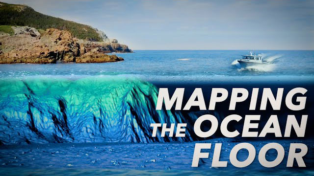
- Bathymetric surfaces (S-102): high-definition seabed imagery, providing mariners with precise and detailed safety contours on the seafloor.
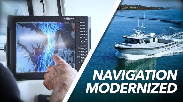
- Dynamic surface currents (S-111): water surface currents data in near real-time
Become an early adopter and access the S-102 Bathymetric Surfaces and S-111 Surface Currents services from PRIMAR.
2025 S-100 St. Lawrence River Sea Trial Area (S-100 Sea Trial )
The 2025 S-100 St. Lawrence River Sea Trial Area (S-100 Sea Trial) is one of Canada's major contributions to advancing the S-100 universal hydrographic data model. Starting in June 2025, the St. Lawrence River will be a testing area of S-100 products for mariners, developers, and other interested parties to:
- Test and validate all key S-100 route monitoring products in real-case scenarios
- Assess system performance and ease of use when utilizing simultaneously various S-100 services
- Demonstrate the practical benefits of S-100 products and services
- Evaluate and improve the navigation safety of the services
- Collect stakeholder feedback and recommendations
The S-100 Sea Trial are a collaborative effort involving:
- The Canadian Hydrographic Service (CHS)
- Environment and Climate Change Canada (ECCC)
- The Canadian Coast Guard (CCG)
- Teledyne Geospatial
- PRIMAR
Related links
- Date modified:


